
Cartes géographiques et atlas
- 233 Atlas
- 5938 Cartes géographiques
- 247 Plans
Date de sortie
- 6532 tous
- publiés
- 149 moins de 3 mois
- 37 moins d'un mois
- 12 moins d'une semaine
- 79 à paraître
- 8 dans la semaine qui vient
- 28 dans le mois qui vient
Disponibilité
Prix
- 88 inférieur à 5 €
- 1126 de 5 à 10 €
- 2821 de 10 à 20 €
- 2357 de 20 à 40 €
- 118 supérieur à 40 €
-

-
-
-
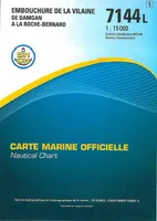 Carte marine officielle "L", 7144L, 7144L EMBOUCHURE DE LA VILAINE DE DAMGAN A LA ROCHE-BERNARDXxxEpshom éditions38,10
 -
 Carte marine officielle "L", 7068L, 7068L DE LA PRESQU'ILE DE QUIBERON AUX SABLES D'OLONNEXxxEpshom éditions38,10
 -
Carte marine officielle "L", 7210 L, 7210L ATTERRAGES DE L'ENTREE DE LA MANCHE - MER CELTIQUEXxxEpshom éditions38,10
-
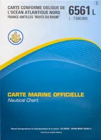 Carte marine officielle "L", 6561L, 6561L OCEAN ATLANTIQUE NORD FRANCE ANTILLES ROUTE DU RHUMXxxEpshom éditions38,10
 -
-
-

-
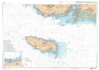
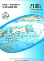 Carte marine officielle "L", 7138L, 7138L PORTS ET MOUILLAGES EN BRETAGNE SUDXxxEpshom éditions38,10
 -

-

-
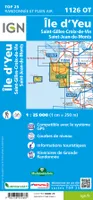 1126Ot Ile D'Yeu Saint Gilles Croix De Vie - Saint Jean De MontsXxxIGN – Institut Géographique National13,90
 -

-

-

-
 3545Ot Saint Tropez - Sainte Maxime Massif Des MauresXxxIGN – Institut Géographique National13,90


